
Bexar County Address Records by Era
Earlier residents are not preserved in one official roster. A useful Bexar County trail separates title records, dated listings, maps, and municipal material. Begin with the era that matters. A recent construction question may lead to permits. A nineteenth-century address may require a deed index, microfilm, an old directory, and a map sheet. Each source needs its own date and role label before it can be compared with the next one.
| Source | Years It Covers | Where Held | What It Shows |
|---|---|---|---|
| Bexar deed books and indexes | 1837-1889 documented at TSLAC; online start not located | County Clerk, TSLAC, FamilySearch | Parties, instrument details, legal description, and title trail |
| San Antonio directories | 1877-present in library description; TSLAC run through 1993 with gaps | SAPL, TSLAC, UNT, Briscoe, Conservation Society | Dated name, address, business, or telephone listing |
| Sanborn maps | 1888 LOC set; local holdings for 1885-1952 specific years | LOC, SAPL, Conservation Society | Street, lot, footprint, and building-use context |
| City block tax maps | 1898-1990 | San Antonio Municipal Archives | Block, lot, and map context |
| Federal census | Released under the 72-year rule; 1950 is currently public | National Archives and library databases | Household and geography snapshot for a census year |
| City permits | Limited 1998-2003; issued 2003-November 2020; later records in BuildSA | San Antonio Development Services | Project, address, application date, and named contact |
A permit contact is not automatically a person who lived there. A deed party is not automatically a household member. The source labels keep those distinctions visible while the address trail moves backward.
Note: Give every finding its printed, recorded, map, or filing date before comparing it with another Bexar County address record.
Bexar County Past Residents and Parcels
Begin with the current parcel as an anchor, not as a claim about a household. The Bexar Appraisal District offers property search by name, address, or property ID. Preserve the property ID, situs address, owner label, mailing address if displayed, legal description, and appraisal year. The situs is the physical parcel location. A mailing address is where correspondence goes and can differ from the parcel.
The legal description is often the steadier historical key. The Bexar parcel layer connects mapped geometry to a PropID, while deed records may use subdivision, lot, block, or metes-and-bounds language. Search both the names and the legal description. An address can change or be indexed inconsistently, but the legal description can make the same parcel easier to follow across an older record set.
Parcel fields are evidence with limits. BCAD notes that earlier records can have discrepancies, and a current owner label or exemption is not a statement that someone occupies the address today.
Bexar County Deed Records Trail
The Bexar County Clerk Official Records Search has a department selector, search term box, and recorded-date controls. Its visible guidance names grantor, grantee, subdivision, document type, and document number. Search Index Only is different from Search Index and Full Text OCR. Index-only words are handled individually, while OCR can search a phrase in scanned text. Capture the instrument number, document type, recorded date, parties, legal description, and whether an image is available.
The Bexar Official Records Search below is the County Clerk route for a documented Bexar County previous-residents deed trail.
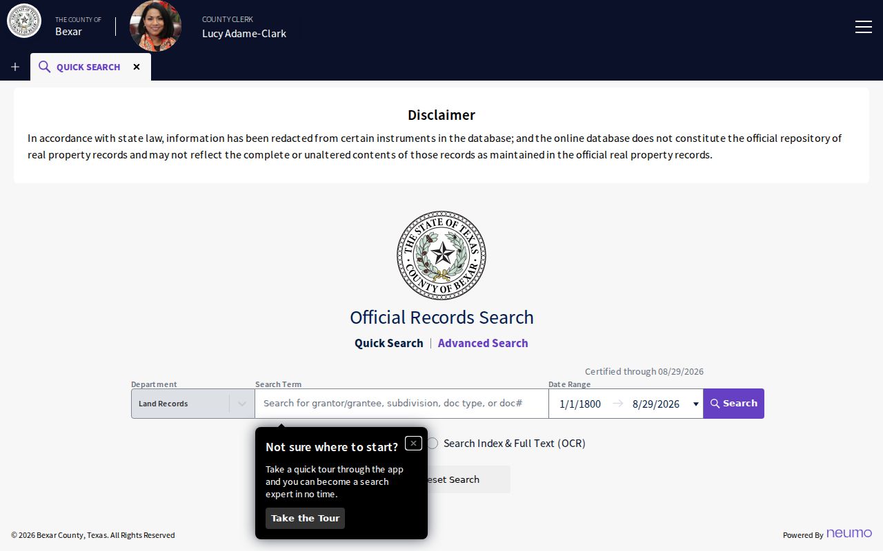
The portal’s department and date controls help narrow a past-address search to the recorded instruments that can be checked against the parcel’s legal description.
- Use the parcel details to locate the latest relevant instrument by party, legal description, subdivision, or a narrow recorded-date range.
- Record the instrument number, recorded date, grantor, grantee, and the legal description as printed.
- Search the seller, usually the grantor in that transfer, as an earlier grantee with the same legal description.
- Repeat the comparison backward, checking whether a party is an estate, trust, entity, fiduciary, or attorney rather than assuming a household role.
- When the web trail stops, move to the Clerk counter, archived deed books, TSLAC microfilm, FamilySearch catalog, or a written request.
- Grantor
- The party transferring an interest in the recorded instrument.
- Grantee
- The party receiving the interest in that recorded instrument.
- Chain of title
- The dated sequence of recorded transfers used to trace interests in a parcel, not a list of everyone who lived there.
- Legal description
- The lot, block, subdivision, or metes-and-bounds description used to identify land in title records.
Bexar County Deed Records Gaps
The exact starting year of the current online Bexar deed index was not located in the official source set. Do not infer an online cutoff from a blank result. TSLAC's Bexar County local-record guide documents deed records from 1837 through 1889 with direct and reverse indexes. It also warns that some volumes are missing or unfilmed, including deed-of-trust gaps and no filmed volume Q.
The TSLAC guide below is the source for Bexar County deed and microfilm coverage.
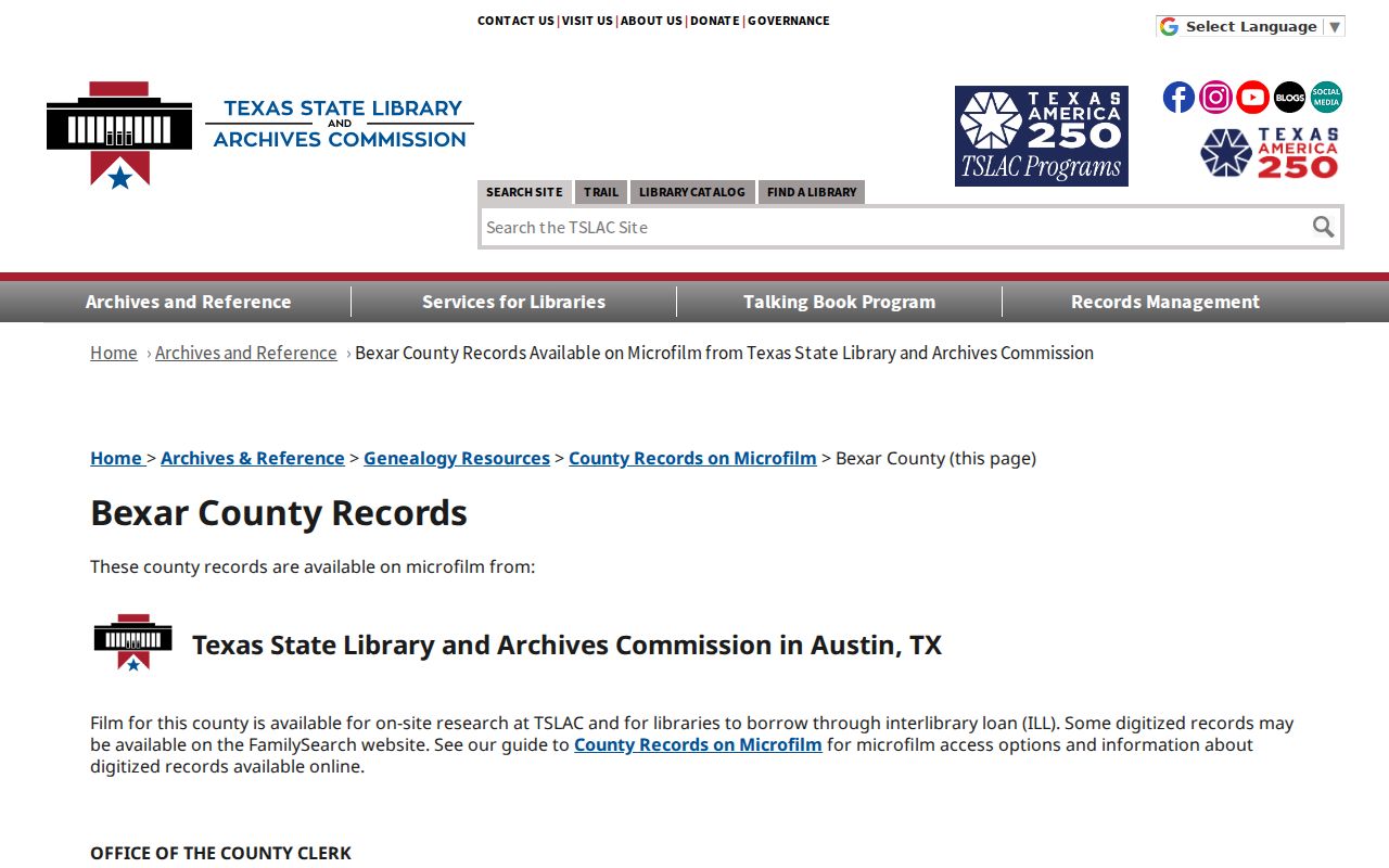
For a nineteenth-century chain, write down the index letter, book, volume, page, and any documented gap before drawing a conclusion. County government was formally organized in 1837, and older records may describe territory that does not match the present county boundary.
Bexar County Past Residents and Old Numbers
Address continuity is a local research problem, especially across San Antonio's numbering grid, boundary changes, and rural routes. The City uses an addressing grid with one address every 50 feet in increments of four. Inside city limits, the City Addressing Team handles assignment and verification. In the ETJ or outside city limits within Bexar County, CPS Energy handles that route. A historical number should be recorded exactly before it is compared with a current one.
San Antonio's property-address information is the source for the city and CPS jurisdiction split.

The Texas Historical Commission's Jay Adams House report provides a method, not a shortcut: it traces current 505 Belknap to former 605 Belknap with directory references from 1894 and 1897 plus deed context. Search both numbers through adjacent directory editions, deeds, maps, and archive terms. Cite the printed year and edition for the crosswalk rather than applying the same conversion to another street.
Note: A changed number or street name needs dated support from directories, maps, plats, or an addressing record before it is treated as the same place.
Bexar County Resident Map History
Sanborn maps add building and block context to the trail of past residents. The Library of Congress holds a public-domain October 1888 San Antonio, Bexar County set of 16 sheets. SAPL and the Conservation Society have local Sanborn holdings for specific years from 1885 through 1951, plus a complete 1952 set at the Conservation Society. A map sheet can show the published street name, house or block number, footprint, nearby alley, or building use at the map's date.
Use the map in sequence: identify the city, edition, sheet, and scale; search the street and number; compare the footprint and nearby landmarks; then compare a later sheet or city map. Map symbols are historical cartography, not a modern property description. The conservation collection's tax-roll microfilm from 1837 to 1926 is another historical property-context route when the needed deed entry is not online.
Bexar County Resident Household Listings
Directories and census material answer the household layer after the title trail is established. Search a directory edition before the date in question, the closest edition, and one after it. The source sequence is simple: address as printed, then prior directory, target directory, next directory, then the relevant released census year. Keep a directory listing separate from a grantee, a parcel label, or a permit contact.
A listing in one volume is a single-year observation. Listings in several editions can support a repeated dated pattern, but not uninterrupted residence. The historical shelf, including SAPL, TSLAC, UNT, Briscoe, and Conservation Society collections, is described in more detail in the Bexar County city directory collection guide. Census material should be treated as a household and geography snapshot for its census date.
Obituaries, newspaper clippings, probate, and cemetery material can close a trail with a death date, estate case, or representative clue. They are endpoints with a date and role, not a present-address source.
Bexar County Archive Address Records
San Antonio Municipal Archives and Records holds digital and physical city materials. An appointment is recommended when the item is not digitized. The City Clerk route can help with a finding aid or physical series when a search result is not a downloadable record. The contact location is City Tower, 100 W. Houston, Concourse, and the published phone number is 210-207-7253.
The Municipal Archives access information below is the source for the appointment and archival fallback.
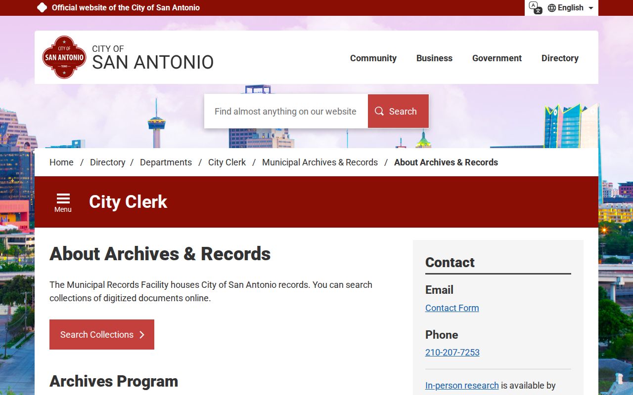
San Antonio Archive Search is the public first step for selected city deeds from 1847 to 1929, City Engineer maps from 1847 to 1929, and block tax maps from 1898 to 1990. A hit can lead to an image, a finding aid, or a physical series. Save the collection name, date range, and identifier, then use an appointment or the records route for material that is not digitized.
Bexar County Resident Evidence Labels
Use a plain label beside each entry in a house-history note. “Directory listing” means a person or business was printed at an address in a named edition. “Deed party” means the person was a recorded grantor or grantee. “Permit contact” means a person or organization appeared in an application or permit context. “Parcel owner label” means the current property record displayed that field when checked. “Historical context” describes a map, tax, or archive clue that does not name a household.
When sources conflict, preserve the conflict. A note such as “listed in the 1948 directory,” “named as grantee in the recorded instrument,” or “not located in the searched index” is more useful than an unsupported combined label. The address trail stays reliable when its limits remain visible.